

Preview
Publication Date
Fall 2017
Abstract
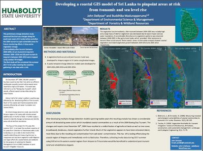
On December 26th 2004 over thirty thousand people lost their lives after an offshore earthquake caused a Tsunami in Sri Lanka, which resulted in waves reportedly as high as 30 meter. This study examined the land-use changes along the south-east coast of Sri Lanka before and after the 2004 Tsunami to spot vulnerable areas for future monitoring efforts. A time-series vegetation change: (i) immediately after Tsunami between 2004-2005, (ii) pre-Tsunami & long-term between 2004 -2016 and (iii) post-Tsunami & long-term between 2005-2016 were mapped using Landsat TM images. The resulting series of multiple change detection models became a series of maps displaying a considerable disturbance of vegetation patterns and agricultural activity at the coastal and inland areas.