
Type of Index
Mosaic
Preview
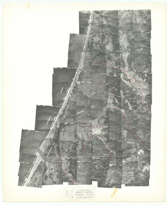
Date Taken
8-13-1942
Agency
United States Department of Agriculture ; Agricultural Adjustment Administration
Project Symbol
CVL
Collection Name
Scale
1:20000
Township/Range
Date range of photos: 1941-1942; Flying completed 07-30-1942
Index Sheet Number
4 of 12
Genre/Form
Digital images, Aerial photographs, Aerial Views, Maps
Digital File Format
image/jpeg
Digital File Size
10 MB
Digital Image Size
11207x13671
Digital File Type
Still image
Digital File Name
[F105] Aerial Photo Index 1941_01.jpg
Physical Color
Black & White
Physical Folder Name
[F105] Aerial Photo Index 1941
Physical Box Number
Box 50
Keywords
Humboldt County, Blue Lake, Jacoby Creek, Mad River, Freshwater Slough, Eureka, Arcata, Humboldt Bay, McKinleyville, ACV, Humboldt Hill, King Salmon, Hookton Slough, Arcata Bottoms, Arcata Marsh
Comments/Notes
Flying completed 07-30-1942
Duplicate of 1942 CVL Index, Sheet 4 - Humboldt County